


N
owhere else will you find this type of wild adventure. We are famous for our trails because they are beautiful, wild, and accessible. We found the easiest place to park and the most beautiful places to travel to - so study this map and get ready for your trip!
N
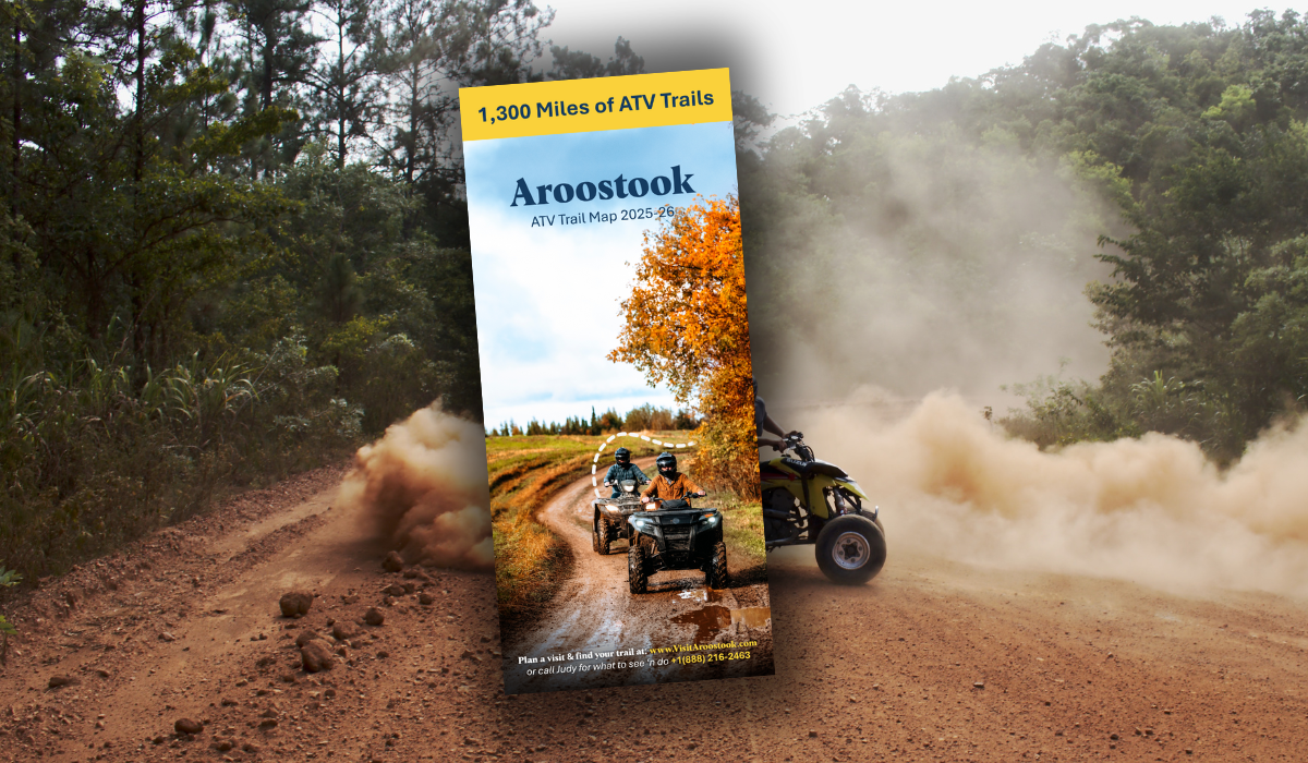
Aroostook County Maine ATV Trail Map
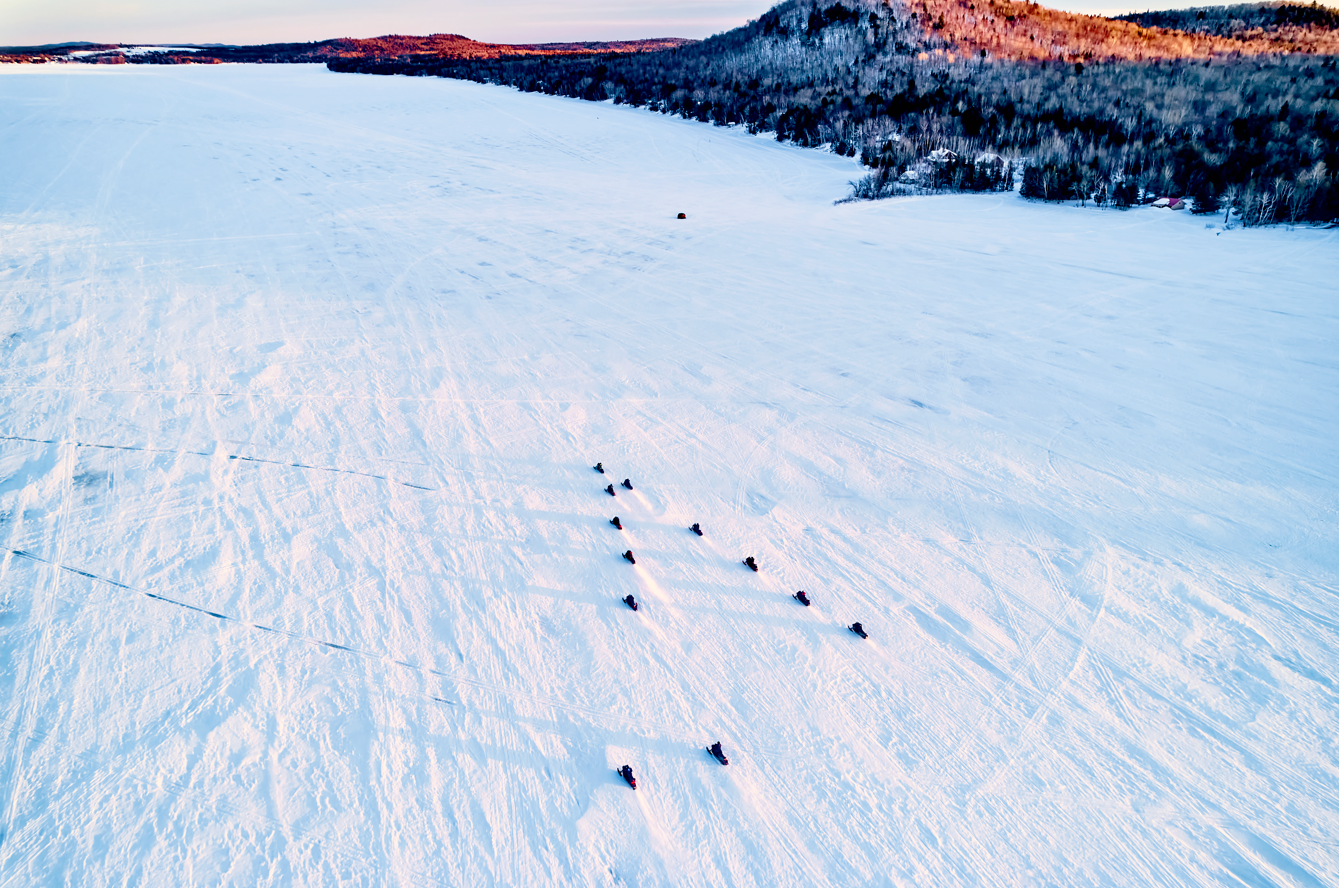
Explore over 1,300 miles of the best ATV riding in Maine's Aroostook County—mapped and maintained by riders, for riders. This comprehensive trail map is your key to navigating the most expansive and welcoming off-road trail system in the Northeast. Winding through farmland, deep woods, and ATV friendly towns, these trails are made possible through partnerships with private landowners and the hard work of more than 30 volunteer ATV clubs. Whether you’re chasing the first sunrise from Mars Hill, riding railbeds through potato country, or cruising across the border into New Brunswick, this map helps you plan a journey that’s as beautiful as it is pure adventure.
One of the best ATV trail systems
Every mile of this system reflects the pride, care, and community spirit of The County. Designed for four-wheelers, side-by-sides, and (in many areas) dirt bikes, the trails offer options for every skill level and riding style. You’ll find trailhead parking, club boundaries, safety guidelines, and links to local resources right on the map. Respect for the land is essential—80% of trails are on private property—so follow signage, stay on designated routes, and support the clubs that keep this network alive. Whether you’re visiting for a weekend or riding all summer long, this map is your trusted companion to one of North America’s top ten ATV trail systems.
Ride safe. Ride right. Ride The County.
Library of Maine ATV Maps
- Very Detailed Southern Aroostook ATV Map: View Now
- Very Detailed Central Aroostook ATV Map: View Now
- Very Detailed St. John Valley ATV Map: Not available online
- Overview of Aroostook ATV Map: View Now
- All state of Maine ATV Maps: View Now
Quick Links